
Laterite Regolith Gold Exploration
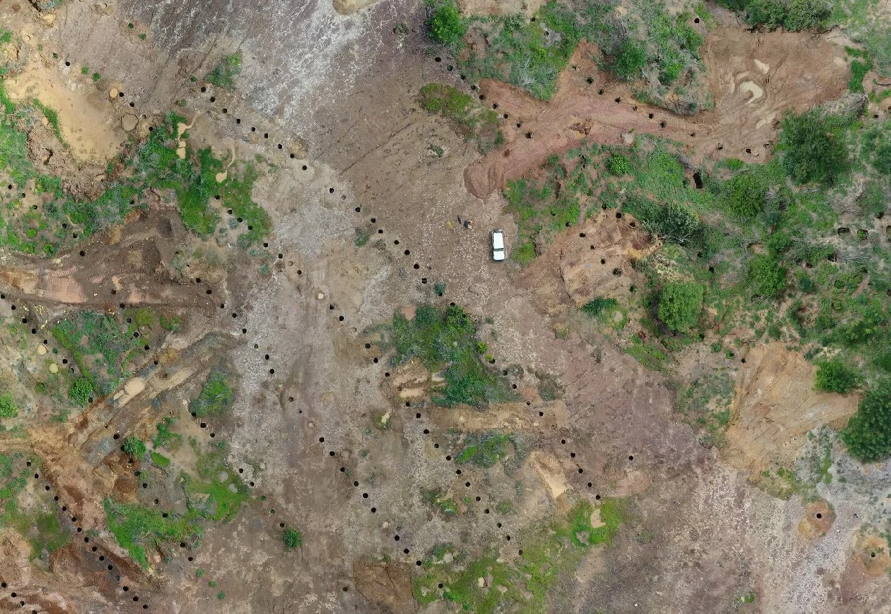
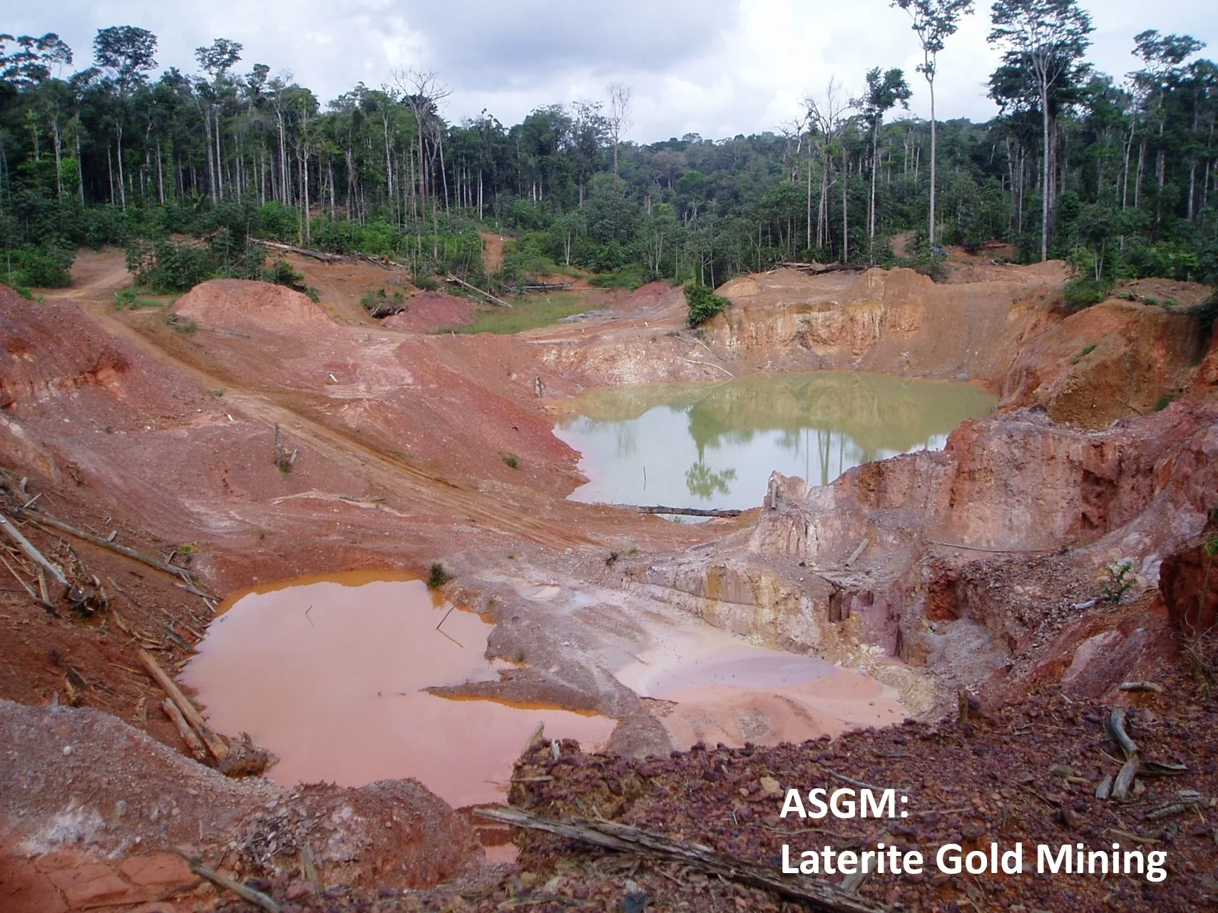
Due to the strong rise in gold price since 2021, gold projects in tropical laterite terrain are increasingly shaped by artisanal and small-scale gold mining (ASGM).
Tropical Laterite Regolith
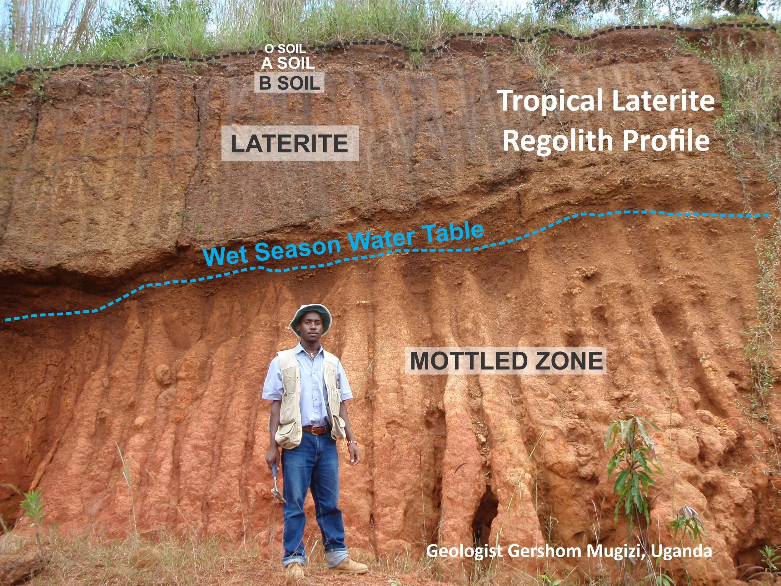
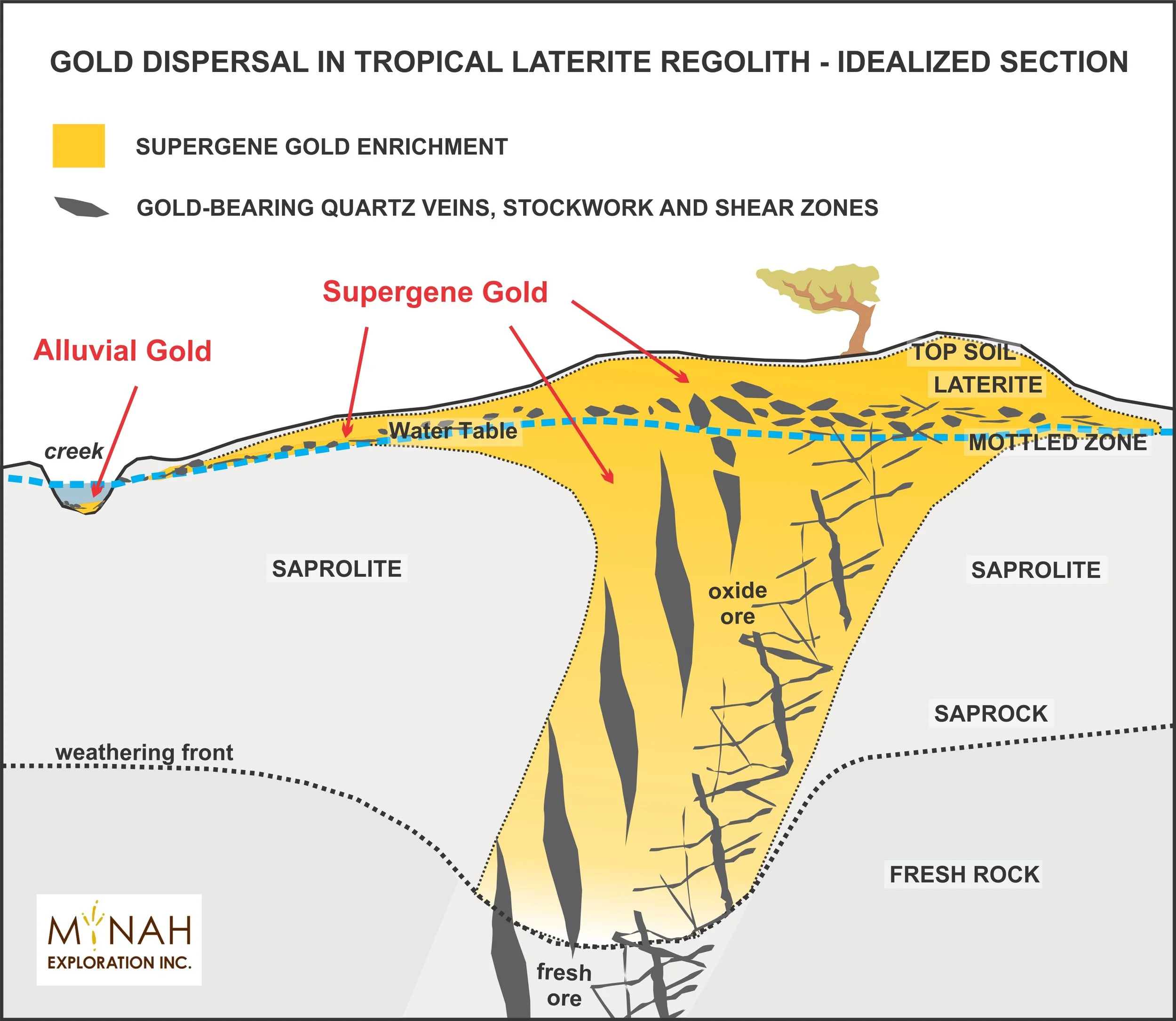
Regolith is everything that covers the bedrock, including vegetation, soil and loose rocks.
The tropical laterite regolith is quite deep, can be 4 to 8 meters thick, and in some places up to 100 meters or more before reaching fresh bedrock.
The deep laterite weathering is the result of warm climates, seasonal rainfall, and geological time.
Where it overlies gold-bearing rocks and veins, the laterite and saprolite are capable of hosting supergene gold enrichment.
Soil Geochemistry Training
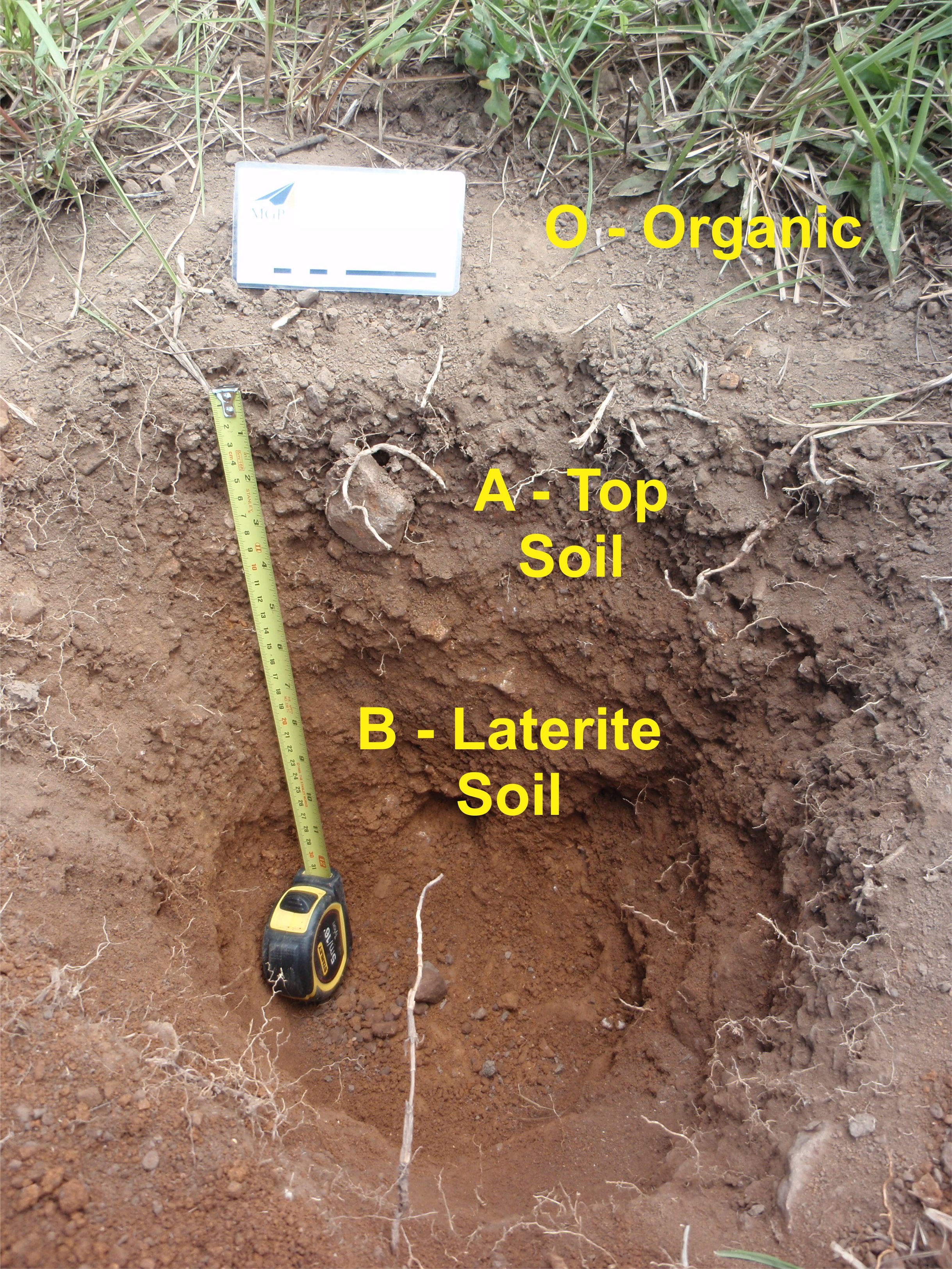
Laterite B soil sampling is a precise discipline. Consistent, correct soil horizon identification is what turns raw soil into discovery data.
The laterite regolith starts with the O layer, which has vegetation and is organic.
Followed by the A top soil, which is dark-grey brown in colour and has many fine white rootlets growing in it.
Next is the red laterite soil, the B soil. It has a clay rich matrix and can be massive or gravelly.
Mynah Exploration has trained exploration and field teams in the Gold Exploration in Tropical Landscapes course, including best practices in soil geochemistry, in Canada, Jamaica, Nicaragua, The Philippines, Zambia and Gabon.
The course was also presented by Mynah Exploration on the GeoHug platform, follow this link.
Soil Geochemistry Grid Design
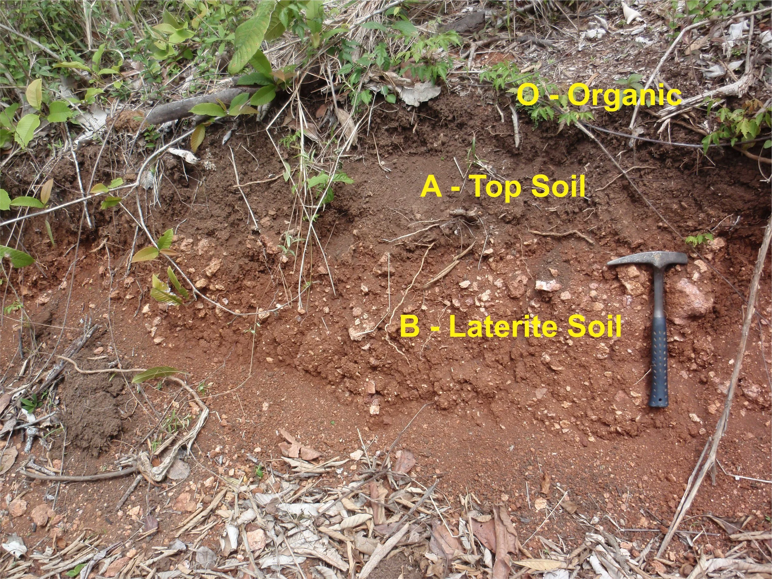
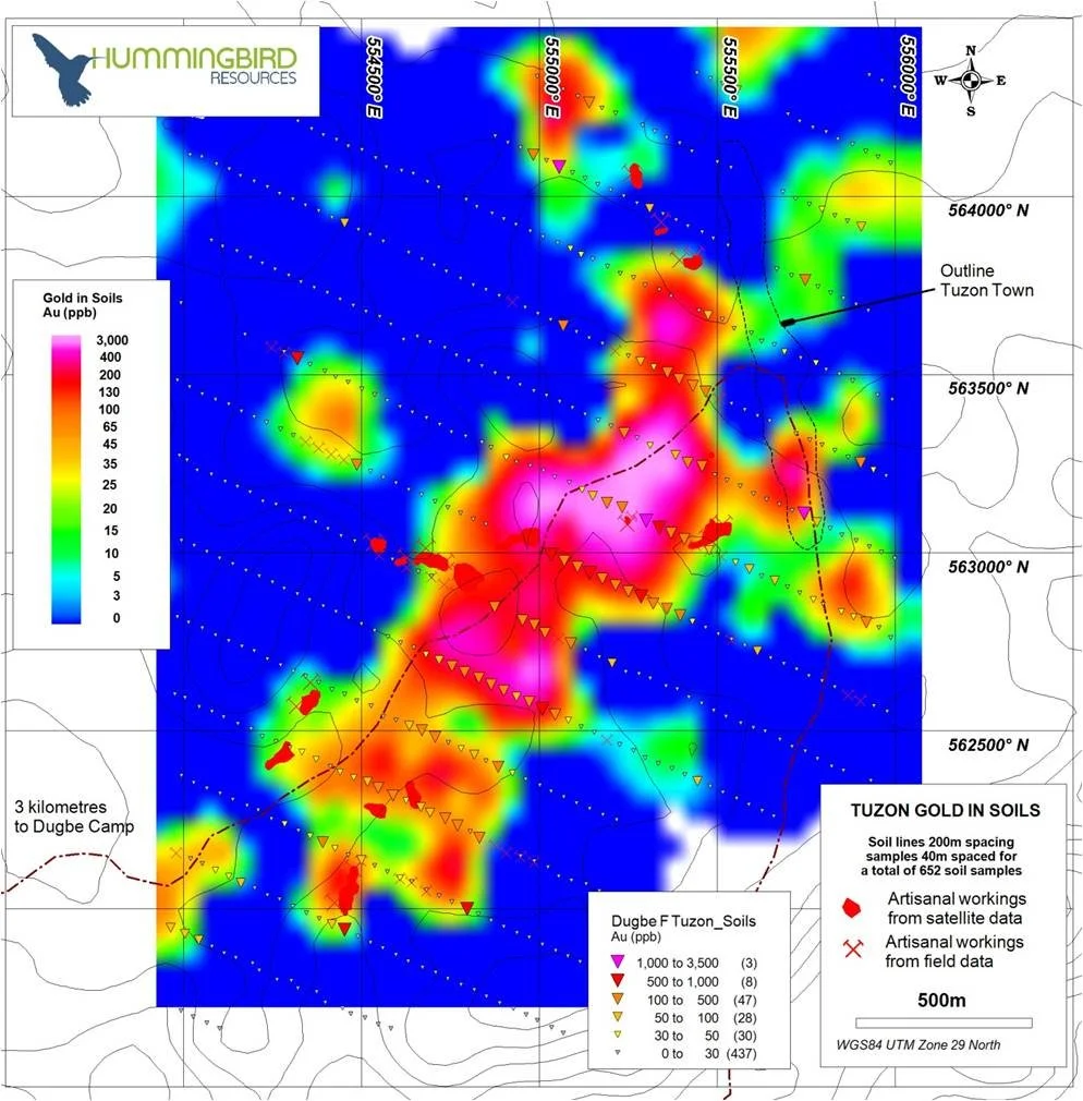
Soil grids are best designed with soil lines perpendicular to the regional shear trend.
Soil lines can be spaced 200 to 400 meters apart.
Soil sampling stations are typically every 40 meters.
This design can define where the primary gold system daylights, and generates trench and drill-ready targets.
Exposing and mapping the saprolite by trenching the strong gold in soil anomalies can reveal which way the gold-bearing structures are dipping and support drill program design.
On-Site Geological Training
On-Site Geoscience Course:
Course material is tailored to gold project site and covers:
Tropical laterite regolith. Gold dispersion within laterite soils. Formation of gold nuggets in the laterite regolith. Plate tectonics and paleoclimatic history of project area. Mineral exploration. Bre-X and what we have learned from it. Stream sediment sampling. Soil geochemical surveys. Trenching and drill targeting. Structural controls and geometry of orogenic, shear-zone (greenstone)-hosted gold deposits. Mineral alteration of orogenic gold deposits. (2 to 3 Days)
Practice: Field Component
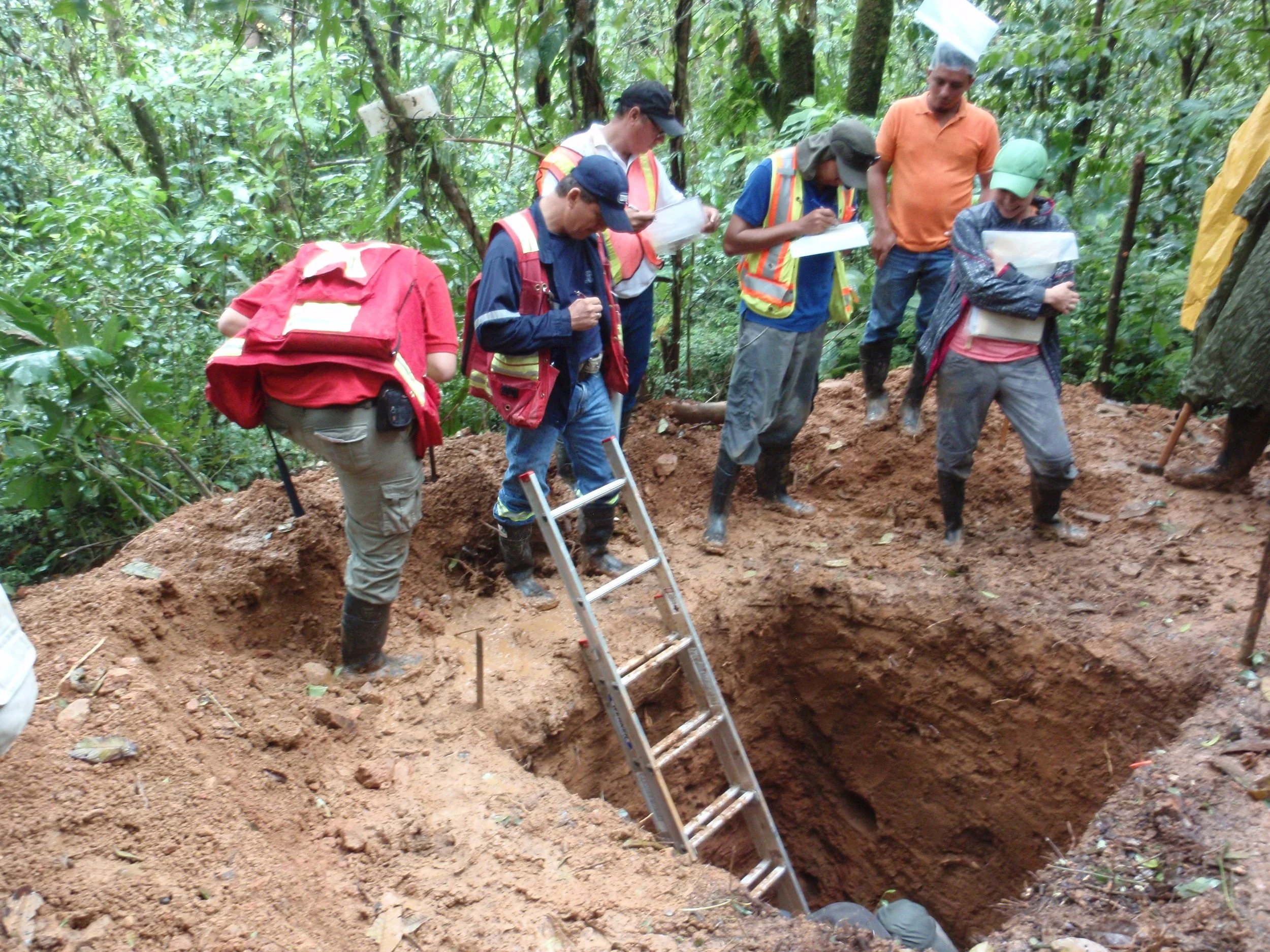
Field Site: Laterite regolith exposures, pit and trenches, artisanal and small-scale gold mine sites, drill core review (if available). Soil geochemistry sampling protocols. (2-3 days)
Skills and Knowledge Transfer
“It is incredibly rewarding to see field geologists look at laterite soil after they have taken this course: They see the regolith differently now.”
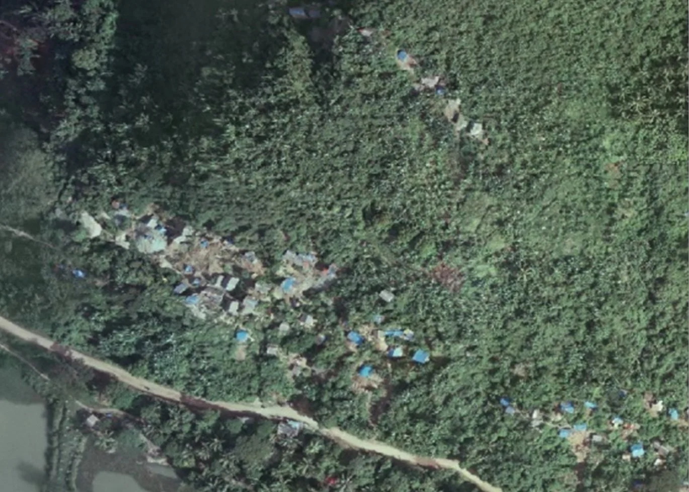
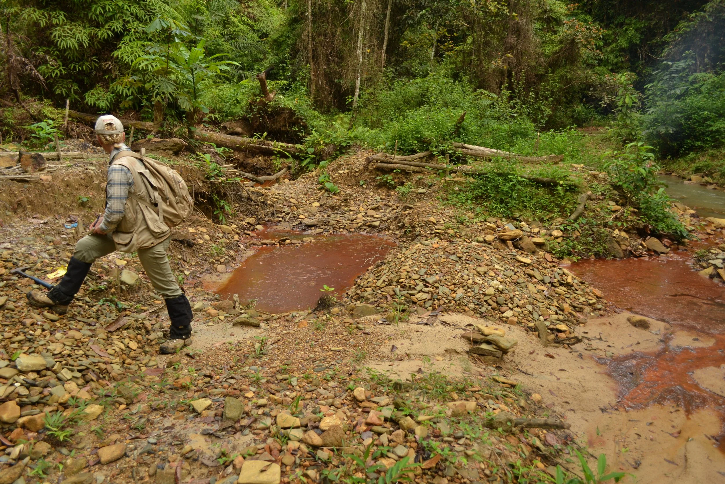
Interpretation of Artisanal Gold Workings
Geographical locations, in particular with relation to elevation/topography.
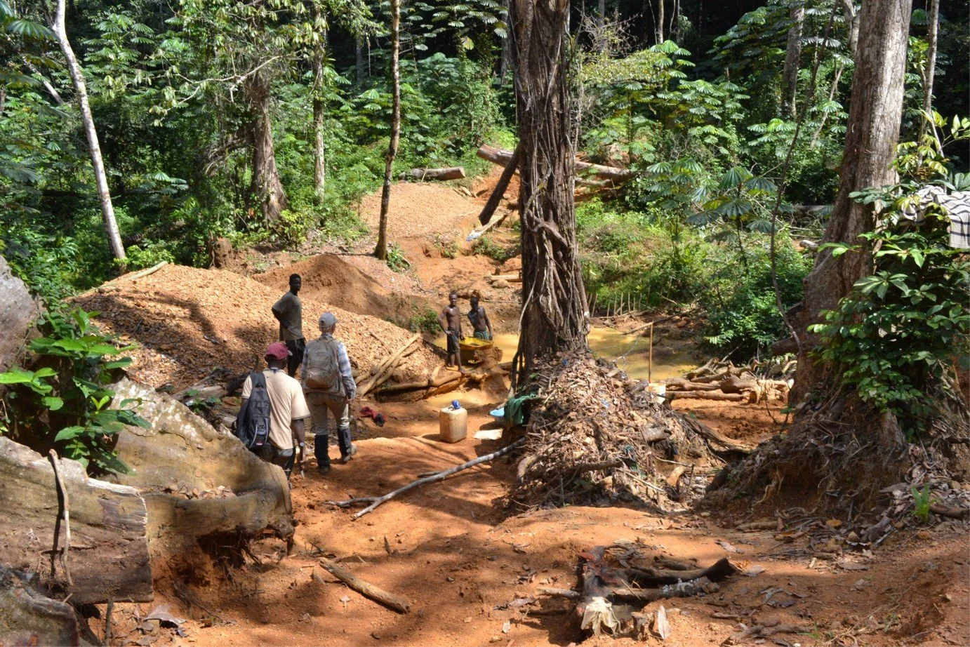
Style of gold mining: Laterite or saprolite-hosted? Gravel/alluvial/placer gold? Colluvium-bearing gold?
Trace the alluvial gold back upstream, colluvium gold upslope, whereas laterite and saprolite hosted gold workings are proximal.
Primary gold proximity and controlling structures can be deduced by investigating historic and active artisanal and small-scale gold workings in the project area.
Gold Project Technical Review
Mynah Exploration technical due diligence draws on 25 years of direct field experience across more than 25 countries.
Historical data is compiled, structural controls on gold identified, 3D geological models interpreted and constructed, field site visits are made, gold potential is assessed and knowledge transfer made.
Whether you are a private investor considering entry into a new gold mining district or a company requiring an independent opinion from a Qualified Person (QP) on a gold exploration project, Mynah Exploration delivers technical assessments.
All engagements are strictly confidential.
3D Vein Modelling
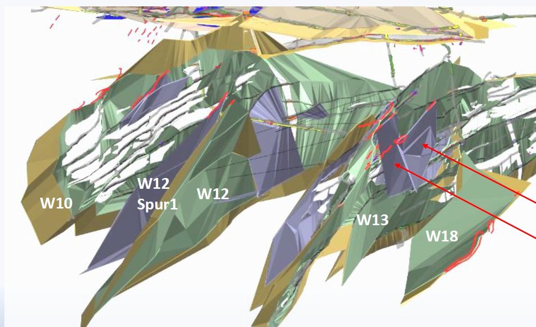
Understanding the three-dimensional geometry of gold-bearing vein systems is critical for exploration drilling, resource modelling and mine design.
Mynah Exploration is experienced at 3D explicit vein modelling, where veins are manually built up from interpreted drill sections, using core structures, such as alpha angles of foliation and quartz veins, and gold grades from drill core or underground sampling, and mineral alteration.
Turn historical mine maps into three-dimensional structures, discover new veins, and identify plunge directions of ore shoots.
The flythrough video above shows an extensive explicit (hand)-modelled 3D vein system by Mynah Exploration for the historic Venice Mine Complex in Zimbabwe, composed of 7 separate vein systems.
Surface artisanal gold workings are shown in red, illustrating the relationship between artisanal mining activity and the underlying vein architecture.